The Planning Department coordinates the development of the Comprehensive Plan and LCI, enacts zoning ordinances, maintains a Town GIS program and development database, and solicits public input on projects and plans for the purpose of guiding issues of transportation, infrastructure, public facilities, services, environmental quality, and ensuring a safe , healthy community. The Zoning Ordinance contains information on the different zoning districts in the town and their permitted and conditional uses, as well as requirements for development.
Application Submission: to submit a rezoning, annexation, variance, or other application, please create a Community Core account here and upload the necessary documentation listed below.
**To submit a permit application, please create your Community Core account for online application submission**
- Annexation
- Cell Tower
- Commercial Site Plan Checklists & Supporting Documentation (Needed for Upload in Community Connect)
- Plat Checklists & Supporting Documentation (Needed for upload in Community Connect)
- Rezoning
- Text Amendment
- Fence Permit Property Owner Approval (Needed for Upload in Community Connect)
- Variance
- Planning Commissioner Application
- Tent Permit Application
Active Town Plans
Town Center Streetscape & Mobility LCI
The Town Center Streetscape & Mobility Study builds on the Envision Tyrone Town Center Plan and the Comprehensive Plan by moving from “big picture” vision to detailed designs for downtown’s key streets. Supported through ARC’s Livable Centers Initiative, the study focuses on creating safer, more walkable and cart-friendly streets along Senoia Road, Commerce Drive, Arrowood Road, and nearby corridors with tools like street trees, traffic calming, mid-block crossings, multi-use paths, and on-street parking. It also recommends green infrastructure, creative placemaking, and a phased implementation strategy to better connect Shamrock Park, nearby parks, neighborhoods, and local businesses while keeping Tyrone’s small-town character at the heart of every improvement.
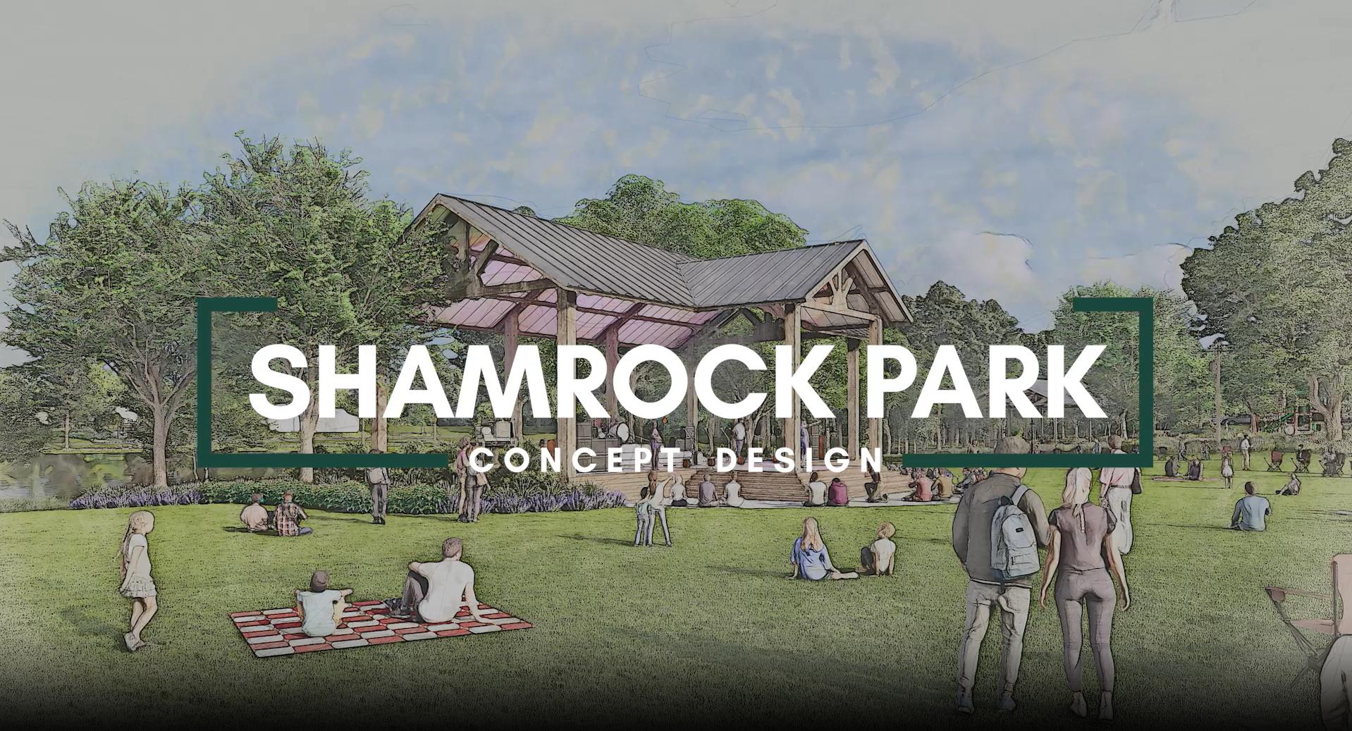
Shamrock Park Master Plan
As part of the 2023 SPLOST, the Town has taken action on citizen’s desire to revitalize the downtown area starting with Shamrock Park! Starting in 2024, the Town contracted with TSW consultants and their team of landscape architects and planners alongside a 10-member citizen steering committee to re-envision the park for future generations. Click the image below to view the plan or watch the video here!
Tyrone 2021 Comprehensive Plan
The The Town of Tyrone Comprehensive Plan is the central document used as a guide for the overall development of the town, providing goals and policy objectives for housing, economic development, natural and historic resources, community facilities, utilities, transportation and land use. The main components of the Comp Plan include: public engagement, the Capital Improvement Element, Short Term Work Program, Report of Accomplishments, Multi-use Trail Plan, and the Future Development Map & Strategy. Each of these components come together to provide an actionable plan that prepares and directs the Town forward for the next 5 years.

Envision Tyrone, Town Center Plan - A Livable Centers Initiative (LCI)
The Town of Tyrone received a $200,000 grant from the Atlanta Regional Commission to perform an LCI (Livable Centers Initiative) study for the Town Center (Downtown) district of Tyrone. A much loved and central district of the Town, downtown Tyrone houses all government services such as police, administration, library, recreation, and the post office; it also includes four parks and dozens of small businesses including some of the most popular restaurants in town. As such, the LCI focuses on leveraging these incredible assets in order to design a more walkable, livable, and amenity-rich center for the heart of Tyrone!

Special Studies, Partnerships, and Assessments
2018 Community Development Assistance Program (CDAP) Zoning Audit
The Town of Tyrone was awarded the Atlanta Regional Commission's (ARC) Community Development Assistance Program (CDAP) in 2018 with the goal of assessing the Town's Zoning Ordinance. Much focus had been placed on the Town Center district in the 2017 Comprehensive Plan, but zoning provisions for that area did not reflect the goals of citizens. This assessment assisted the Town in auditing its zoning ordinance for changes to assist in catalyzing downtown goals.

2017 UGA Strategic Visioning Exercise - Design Considerations
In 2017 the Town of Tyrone was awarded the University of Georgia's Renaissance Strategic Visioning Program (RSVP) to assist in visualizing potential for the Town Center District. With the help of UGA Landscape Architecture Graduate Students, the Town was able to visualize property potential, suitable plant palettes, and, ideas to help visualize a more pedestrian-friendly classic small-town downtown environment for the Town.

Fayette County Master Transportation Plan Path Guidelines
These guidelines are intended to set forth a standard for multi-use path construction across the County that focuses on renewed pedestrian safety and comfortability.
2017 Highway 74 Gateway Coalition
The SR-74 Gateway coalition was formed via a partnership of all municipalities who have jurisdiction along Georgia Highway 74 right-of-way. This coalition's intentions are to create a coordinated effort to promote access management and quality growth standards along the entirety of SR-74 in each of the jurisdictions it passes through.

2025 Fayette County Safety Action Plan
Department Contacts
| Name | Position | Phone | |
|---|---|---|---|

Phillip Trocquet | Assistant Town Manager, Community Development | (770) 881-8322 | phillip.trocquet@tyronega.gov |
| Schedule a Meeting with Staff | Book an Appointment |